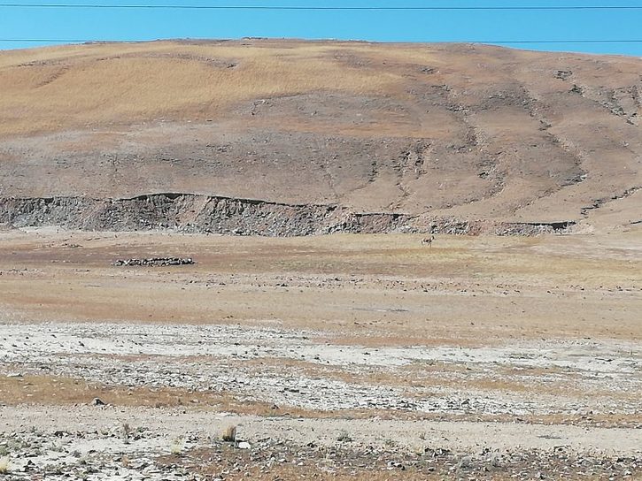
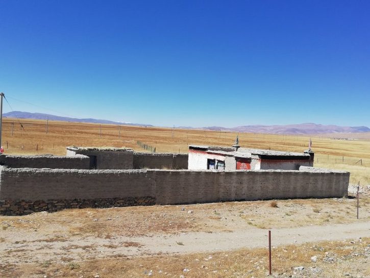
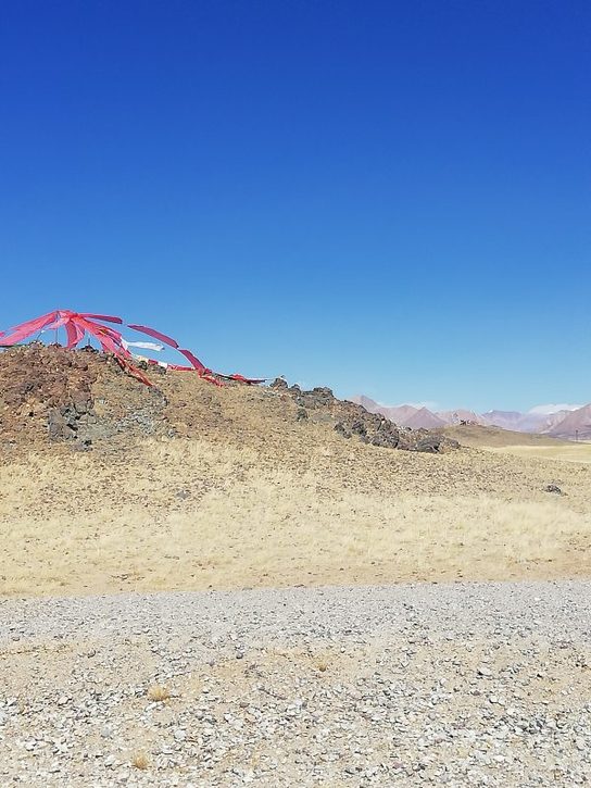
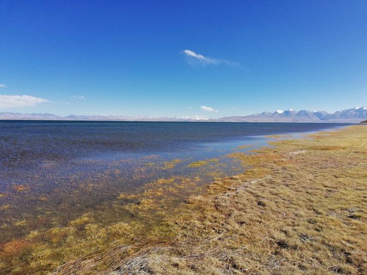
Climbing over a steep pass, we descended a short distance to a wide arid plain of semi-desert with a small river running through it. This is the Indus River, which eventually flows through Pakistan into the Indian Ocean. The plain is the southern edge of the Tibetan Plateau which is known as the Changtang, Tibetan for Northern Desert, protected from the monsoon rains by the Himalayan Wall.
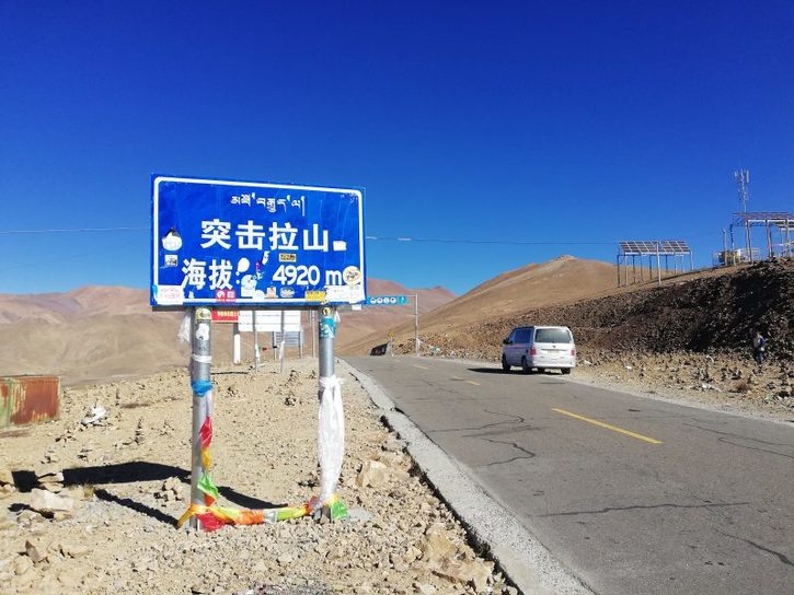
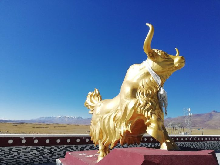
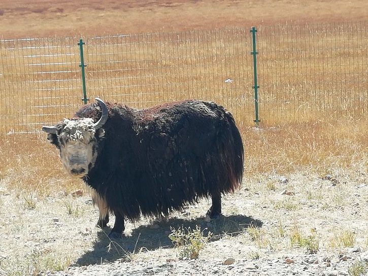
More enormous passes including the Gulu (4,920 metres), the Sola and others of nearly 5,000 metres were crossed and we saw wild yaks (much larger and fiercer than domestic ones, and wild donkeys who were also very large. We had a very tasty sweet and sour chicken at a small cafe and like a berk I left my glasses there. Eventually we crossed yet another pass and caught our first sight of Mount Kailas.
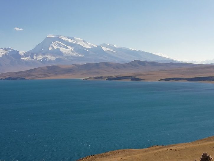
The road passed Lake Manasarovar, which was long thought (wrongly) to be the source of the Ganges but is now known to the source of the Indus, Brahmaputra, Mekong and Sutlej. We spent the night at the small tourist town of Darchen where a relatively expensive hotel (we have to stay in officially registered hotel in western Tibet) had its electricity switched off at midnight and the manager brought us a large thermos of boiling water.
Kailas is an almost perfect pyramid and can be seen rising out of the Changtang for miles around. It is worshipped by Buddhists, Hindus and Sikhs who think that it is the centre of the universe. Hindus believe that it is the abode of Shiva, the God of Death and Destruction, and many Indians come here to commit suicide with their unsuspecting tour guide left with the job of organising their cremation.
